You are here: Home " Geodetic reference point
Whether for smartphones or navigation devices - coordinates are required for exact positioning. Without them, precise navigation would not be possible.
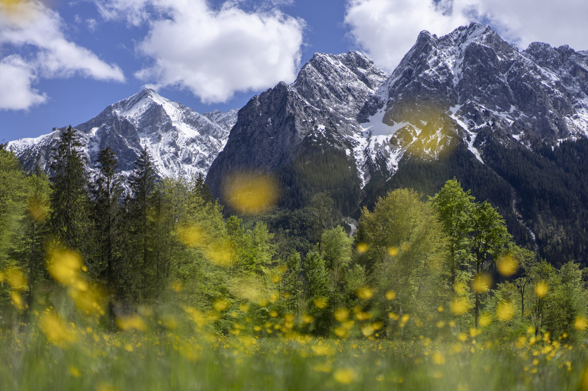
Since 2022, there has been a geodetic reference point at Unterer Dorfplatz in Grainau. With a view of the Zugspitze and Waxensteine, guests, day-trippers and locals can easily check the coordinates of their smartphone or GPS device and find out about mathematical and geodetic details.
The coordinates of the reference point in Grainau are as follows:
Copyright 2025 © All rights Reserved.